
As part of the “Monaco Capital of Advanced Yachting” initiative, the official signing of the Letter of Cooperation between the Yacht Club de Monaco and the IHO – the Monaco-based International Hydrographic Organisation – took place on Wednesday 6th July.
These two organisations agreed to work together to improve our knowledge of the sea and to cooperate on the crowdsourced bathymetry initiative.
In 2017, only six percent of the oceanic lithosphere was known. Five years later, thanks to the GEBCO programme and the Nippon Foundation’s Seabed 2030 project, this percentage has increased to 23.4percent. Officially recognised as an initiative of the United Nations Decade of Oceanography for Sustainable Development, the goal is a complete map of the entire seabed by 2030.
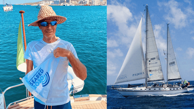
Alfredo Giacon
Thanks to this collaboration, a data logger was provided to Alfredo Giacon, a journalist and skipper who has been leading missions for the protection of the oceans for the past 12 years, so that he could collect data useful for bathymetry. He left the United States in mid-May from Port Canaveral and crossed the Atlantic to arrive in Monaco on Friday July 22.
Dr Mathias Jonas, Secretary General of the IHO, said, “Learning about the oceans is the greatest mapping adventure of our time. Many mountain ranges, volcanoes and submarine canyons have yet to be discovered and named.”
Private vessels can help improve our knowledge of the oceans by sharing the depth measurements made by navigational instruments while at sea. Known as Crowdsourced Bathymetry (CSB), this information can help identify unrecorded features such as seamounts and canyons, verify information on charts and fill in gaps on charts where no data exists.
Unfortunately, shipping incidents involving superyachts are often stifled by confidentiality agreements that prevent lessons being learned or shoals being reported to hydrographic offices.
Superyachts explore the world’s oceans, often in areas where data is scarce, non-existent or of poor quality. It is precisely in these areas that contributions to seabed mapping efforts can have the greatest impact.
To minimise the effort of the ship’s crew and with full respect for the privacy of the yacht owner and his crew, the input and collection of data can indeed be done using a small data logger, which can be interfaced with the ship’s GNSS and echo sounder. Regularly measured parameters, such as depthand under-keel position, can then be stored, downloaded, and integrated into local and global
mapping initiatives.
By providing data, everyone can help other seafarers and oceanographers, help prevent strandings or environmental damage and make the oceans a safer place for everyone.
PHOTO: Admiral Luigi Sinapi, a director of the IHO, with Bernard d’Alessandri of the YCM, at a celebratory cocktail on Friday, July 22